Heavy Rain Threat Continues to Fade Across Maine
After a couple of cool days, temperatures trending warmer for the weekend.
PORTLAND, Maine —
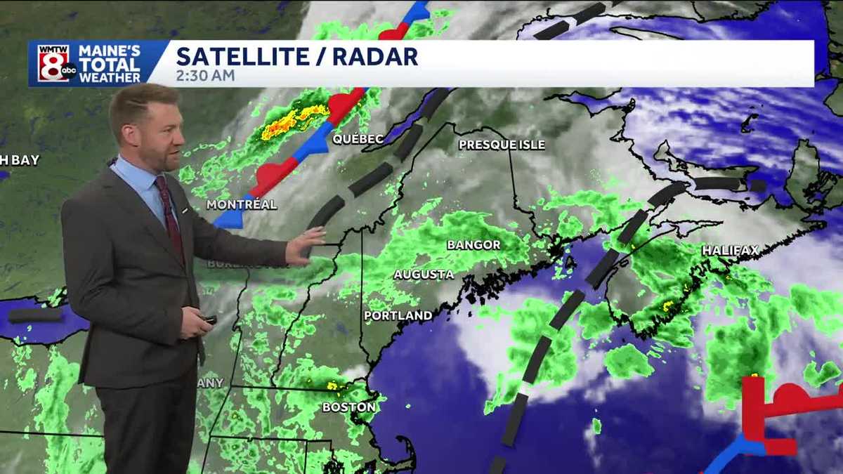
Rain will remain in the forecast across Maine today as a slow-moving area of low pressure continues to spin through the Gulf of Maine. While the overall trend has been toward less widespread heavy rain compared to earlier forecasts, periods of moderate to locally heavy downpours are still possible. The greatest concern will be for isolated areas that see repeated showers or thunderstorms, where brief flooding of poor drainage areas could still occur.
The steadiest rain will gradually become more focused across coastal Maine through the afternoon. Inland areas will likely see more scattered showers, while the coastline has the better chance of holding onto wetter conditions later in the day. Any heavier rainfall will be much more localized than previously expected, meaning many communities will avoid significant impacts while a few could still pick up a quick inch or more of rain in a short period.
The overall flash flood threat has diminished as forecast models have backed away from widespread excessive rainfall. That said, the atmosphere remains capable of producing isolated downpours, so it’s worth staying alert if you encounter heavier rain, especially in areas with poor drainage or where water tends to collect. Showers and thunderstorms will taper off quickly this evening as the storm system pulls farther east and daytime heating fades.
Looking ahead, Friday offers a welcome break with more sunshine to start the day, although a few spotty afternoon showers can’t be ruled out. Saturday follows a similar pattern with only isolated showers, before another unsettled stretch arrives late Sunday and continues into Monday with the next slow-moving weather system.



